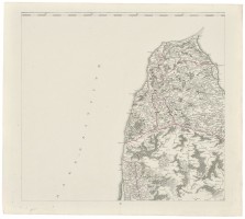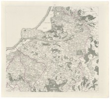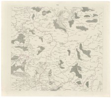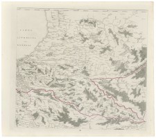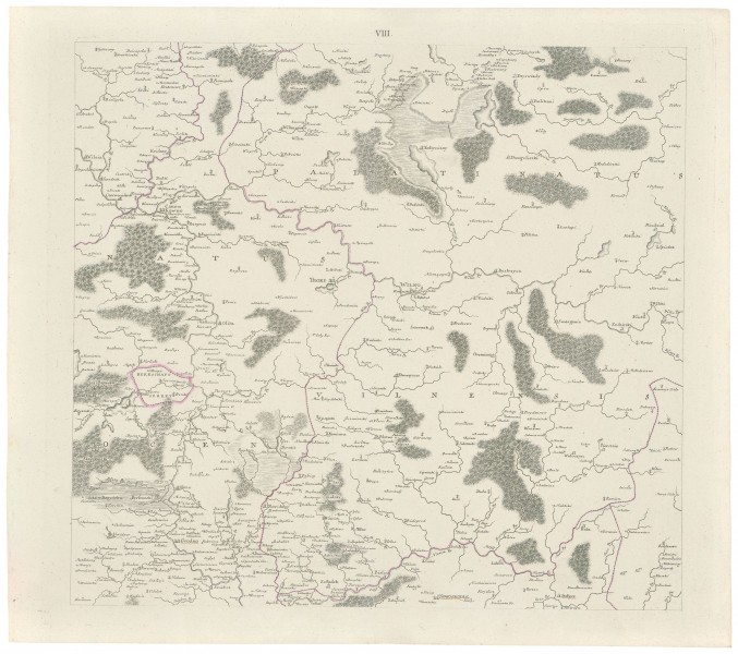

Regni Poloniæ, Magni Ducatus Lituaniæ Nova Mappa Geographica Consenssu Borussorum Regis, C. B. Glassbach Sculpsit Berolini. VIII. Palatinatus Vilniensis
| Author: |
Theodor Pfau (1725–1794) |
| Created: | 1770 |
| Material: | paper |
| Technique: | copper engraving |
| Dimensions: | 53 × 60 cm |

In preparation for the first partition of the Commonwealth, under a secret order from the Prussian Duke, Prussian military topographers led by Theodor Philipp von Pfau prepared a 25 sheet Commonwealth map Regni Poloniæ, Magni Ducatus Lituaniæ nova mappa geographica concenssu Borussorum REGIS, C. B. Glassbach sculpsit Berolini. The map
was engraved by Christian Benjamin Glassbach (1724–1779) and printed in Berlin in 1770–1772.
Some cartographic directories mistakenly name Berolini as the engraver of the map. In fact, that was a Latinised name of Berlin, i.e. the place of publication. There were two versions of the map issued (with 25 and 6 sheets) and in a very short run. All subsequent multi-sheet maps of the Commonwealth of the same character (by J. J. Kanter, G. A. Rizzi Zannoni, F. J. J. von Reilly, etc.) were based on that initial map. That map was first mentioned in the very rare catalogue of Simon Schropp’s collection dated 1817. Four sheets from the 25-sheet version completely cover the present territory of Lithuania: II. Curlandia. Samogitia; III. Livonia par Semigalia; VII. Regnum Prussiae. Episcopatus Warmiensis; VIII. Palatinatus Vilniensis.
Source: Law firm Valiunas Ellex art album LITUANIA IN ATLANTIBUS (2011). Text author Algimantas Muzikevičius