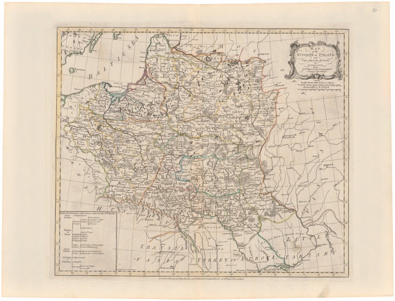
Map of the Kingdom of Poland and the Grand Dutchy of Lithuania
| Authors: |
John & Carington Bowles John Palairet (XVIII c.) |
| Created: | 1760–1766 |
| Material: | paper |
| Technique: | copper engraving |
| Dimensions: | 45.50 × 53.50 cm |

| Authors: |
John & Carington Bowles John Palairet (XVIII c.) |
| Created: | 1760–1766 |
| Material: | paper |
| Technique: | copper engraving |
| Dimensions: | 45.50 × 53.50 cm |