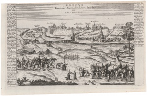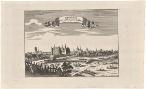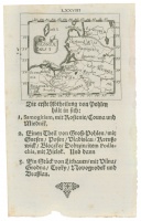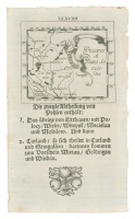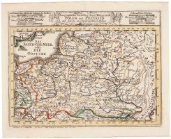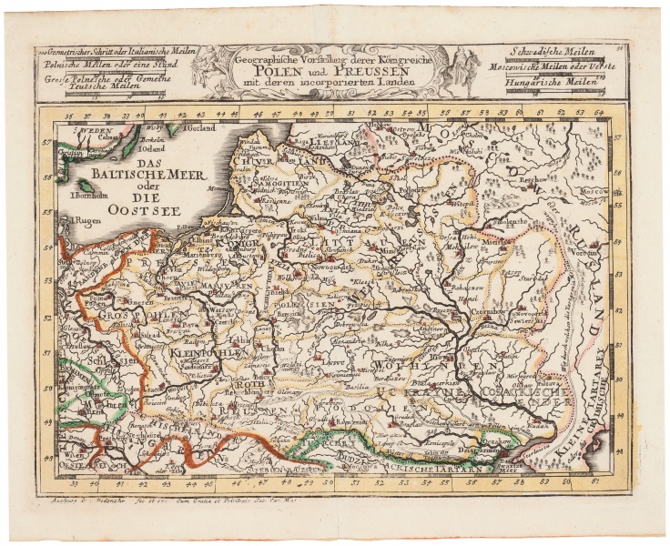

Geographische Darstellung derer Königreiche Polen und Preussen mit deren inkorporierten Landen
| Authors: |
Gabriel Bodenehr I (1634–1727) Gabriel Bodenehr II (1664–1758) |
| Created: | 1716 |
| Material: | paper |
| Technique: | copper engraving |
| Dimensions: | 16.50 × 22.50 cm |