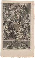
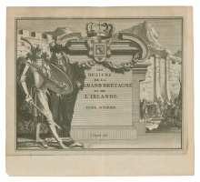
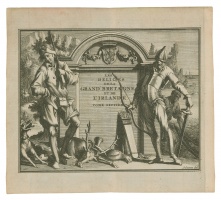
"Atlas Historique. Tome IV. Septentrio" title-page engraving
| Authors: |
Jan Goeree (1670–1731) Jacob Schynvoet Jan Sluyter A publishing house of the Chatelains (XVII–XVIII c.) |
| Created: | 1714 |
| Material: | paper |
| Dimensions: | 48 × 29 cm |

The Chatelains' publishing house in 1705–1720 in Amsterdam published the encyclopedia Atlas historique in 7 volumes (its second edition in 1732–1739). Map engravings were based on the works of Guillaume De L’Isle. The Atlas included 5 engraved frontispieces and 280 engraved plates with the information pertaining to cosmography, geography, history, chronology, genealogy, topography, heraldry, and costumes of the world; 114 maps and plans plus views, heraldic and genealogical charts. The fourth volume covering Northern Europe included two maps of Poland-Lithuania, a Lithuanistic map reflecting marches of King XII of Sweden, a sheet with images of Warsaw, Krakow and Vilnius, a genealogical chart of kings of Poland and some other maps.
Source: Law firm Valiunas Ellex art album LITUANIA IN ATLANTIBUS (2011). Text author Algimantas Muzikevičius