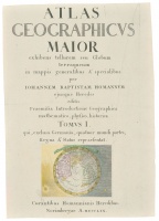
"Atlas Geographicvs Maior" title-page engraving
| Author: | Homann Heirs (1726–1848) |
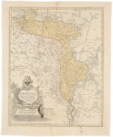
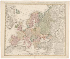
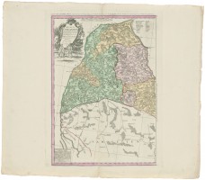
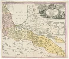
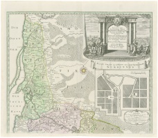
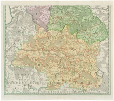
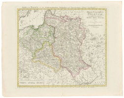
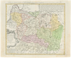
After J. B. Homann’s death in 1726, his son Johann Christoph Homann (1703–1730) took over his business. J. Ch. Homann himself bequeathed his firm to his two head-managers, Johann Georg Ebersberger and Johann Michael Franz, on the condition that they would continue publication under the name Homann Heirs. This designation, in various forms (Homannsche Heirs, Heritiers de Homann, Homannianos Herod, Homannschen Erben, etc.) appeared on maps from 1731 onwards. Publication of maps continued (though in diminishing quantities) until the last owner of the firm, Christoph Franz Fembo, died in 1848.
The Homann Heirs publishers mostly reissued J. B. Homann’s works; however, they transformed and updated the maps as well. They also made quite a number of original maps of which the GDL map by Jan Nieprzecki (Jean Nieprecki, 1719–1754) and Johann Tobias Mayer (1752–1830) (made from the same printing plate with some corrections and changes and issued four times between 1749 and 1795), as well as works of Johann Matthis Hase (Haas, Hasius, 1684–1742), should be distinguished.
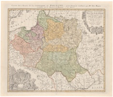